Posts

Showing posts with the label island

Malta - Scuba diving and more
Image
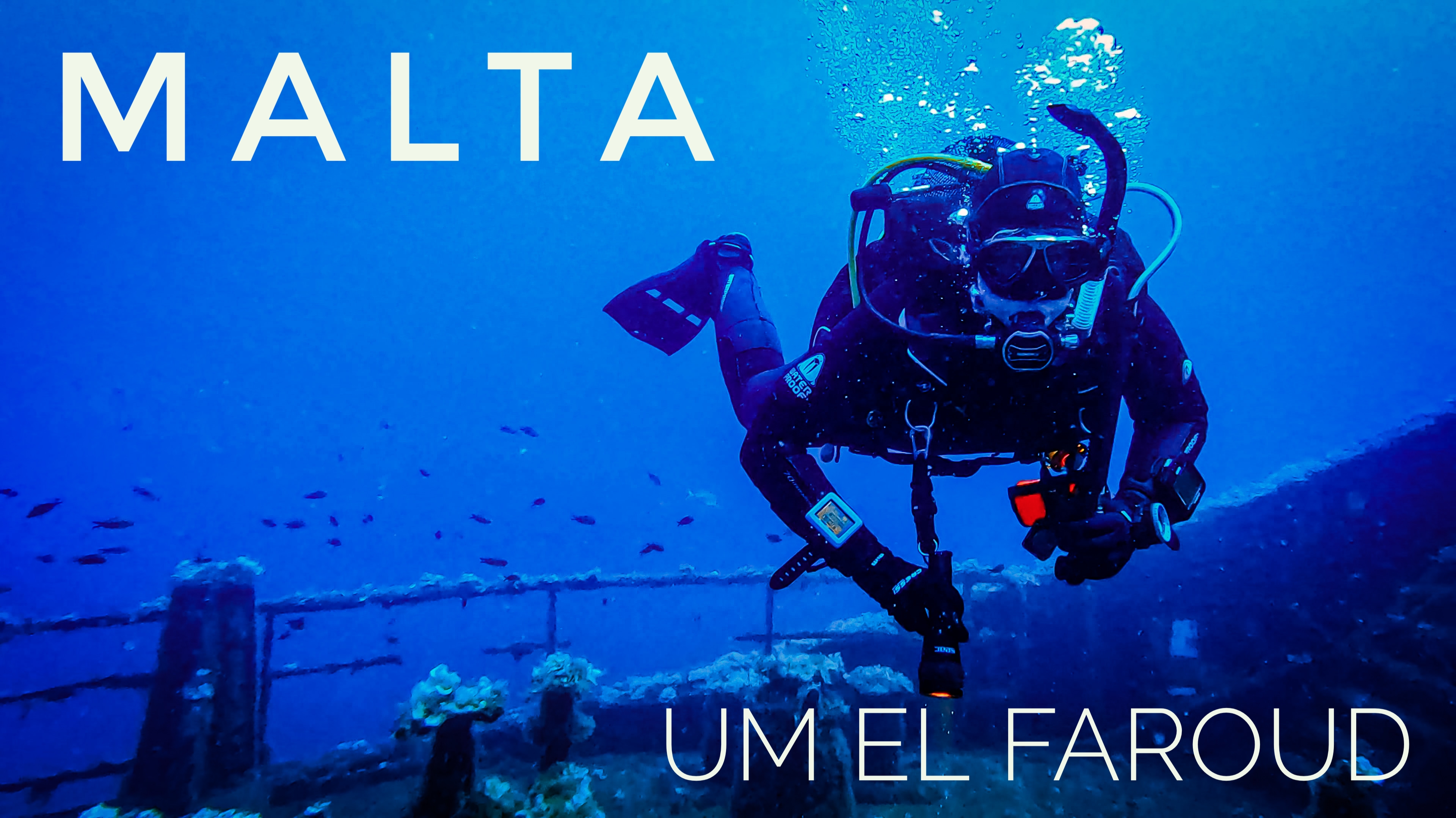
Malta is an Eurpean islands state, located in the center of the Mediterranean Sea between the North African coast and Sicily from which it distances only 80 Km. It actually comprises of three islands, Malta, Comino and Gozo with a population of less then 500k people on 316 square Km. Malta has an extremely rich history, starting from amazing prehistoric misterious temples till the WWII, passing through several invasions and the famous knights od Saint John's ruling. We just spent two weeks of our summer vacation in Malta where we equally divided our time between diving and sightseeing with just only few beach days in between. Diving is mainly from shore, the coast has very attractive and scenographic sea bottom landscapes with plenty of caves, fractures, arches and walls. There are lots of wrecks, some sunked on purpose within the maximum recreational depth limit of 40 meters  and others, generally deeper, as consequence of WWII battles or bad weather. On the contrary to our expect...
The Plan B (just in case)

Image
Every serious project has a contingency plan to ensure irs successful completion also in case of unavoidable problems and since our Calypso is far too important, we need our own plan B.  Relocating to the Caribbean is not a simple task with a lot of aspects which has to fit together at the right time and sometime one single unexpected issue may be enough to stop the all plan. The geographical and cultural distance from Europe are positive aspects of the Caribbean but they may become problems in case of changes in our families or in the political and or economical status of countries. Similar porblems may prevent or make extremy difficult our relocation outside Europe. As divers we learned to accept the unexpected and therefore we are prepared to continue with the Calypso project witout changing its principles just the place, somwehere closer, an European destination. We looked at the map of Europe to find places which are warm through all the year, with great diving site, effortabl...

Sint Maarten

Image
Sint Maarten is a constituent country of the Kingdom of the Netherland located on the south of a Caribbean Island shared with France. The Dutch territory covers the 40% of the island where lives little more than 40,000 people. The island was divided by the Treaty of Condordia in 1648 and despite the border changed sixteen times due to fights, the sharing is still in place till today. Cotton, tobacco and sugar plantation had been the main island income till after the WWII, when in the 50s the iconic International Airport was opened and the tourism business took off. Today the island economy is based on tourism, employing 80% of the population. Cruise ships and luxurious hotel resorts are the main type of tourism sources. The island location is exposed to the hurricanes season and it has been hit more then ones with the last in 2017 causing extensive damages to 70% of the houses and loss of lives. The real estate opportunities are almost exclusively top high end villas and th...

Sint Eustatius

Image
Sint Eustatius, also known as Statia, is an island of the Caribbean West Indies and it is a special municipality of The Netherlands, like Saba and Bonaire. Statia is located in between Saba in the North and Saint Kitts in the south and has of only 21 square Km where lives little more than 3,000 people. In its history, from the 17th century the island changed hands 21 times between the Netherlands, France and Britain but most of the time it was under Dutch ruling. In the 18th century, Sint Eustatius was the most important and richest settlement in the Carribean; The Golden Rock was its nickname and the population reached 30,000. The main and most profitable business was the selling of weapons and ammunitions to any interested party, and at the that time countries were almost continuously fighting each other.   The island has also a place in the American history thanks to the “First Salute”: in 1776 the American ship Andrew Doria was approaching Sint Eustatius to purchase munitions...

Saint Lucia

Image
  Saint Lucia is an island country in the easter Caribbean where the Atlantic Ocean starts. The island surface is 617 square Kilometers where lives a population of around 180,000 people. The French were the first European to live and rule on the island till 1663, when England took it over for few years. After that there was a continuous change of power between the two counties, in total there were 14 changes in 150 years. In 1814, the British gain the definitive control which lasted until the island obtained the independence in 1979. Nowadays Saint Lucia is a two parties parliamentary democracy part of the Commonwealth real with the Elizabeth II as Queen of Saint Lucia. Geographically it is a volcanic island, one of the most mountainous of all the Caribbean, with tropical rainforest climate and the consequent two typical seasons: wet from June to December and dry from January to May. Qualibou is the name of the volcanic area where there are active sulfur springs which a...

Saba

Image
  Saba is the smallest special municipality of The Netherlands and a small Caribbean island of 13 square kilometres where less than 2000 people are living permanently. Located in the northern Leeward islands of the West Indies, Saba is essentially composed by the potentially active volcano Mount Scenery which reaches 887 meters of altitude. Historically since the 17 th century, the island has always been under Dutch dominion apart from a period of 150 years under the British Kingdom which ended at the beginning of the 19 th century. During the British period, Saba was a hideout for Jamaican pirates often joined by English people who were send to the island because considered “undesirable” by the homeland authorities. After the Dutch regain control of the island in the 1816, the legitimate trading and sailing become the main activities till when stating in the 1960s tourism was steadily growing importance also thanks to the construction of an airport and a vessel pear. Nowadays to...

Jamaica

Image
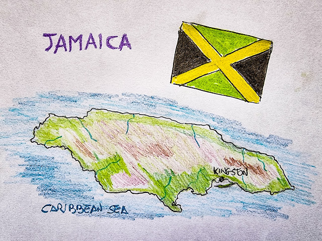
  Jamaica is one of the most famous island countries in the Caribbean thanks to its history, nature, rum and lifestyle but also to popular Jamaicans such as Bob Marley and Usain Bolt. The Island is located 145 km south of Cuba and 191 Km west of Hispaniola and after them, it is the third largest one of the Caribbean Under Spanish domain till 1655 when the island was conquered by British who renamed it Jamaica. During the English period, Jamaica was leading the sugar export with its plantations.  Independent since 1962, today Jamaica has a population of almost 3 million people, a stable democratic government with a constitutional monarchy headed by Elizabeth II as Queen of Jamaica. In the last decade, the island saw an important economic growth and a general improvement of life quality. Mining, agriculture and tourism are the main pillars of the Jamaican economy. With an average of 4,3 millions visitors a year, in 2019 tourism accounted for 20% of the Country GDP with a positi...

Grenada

Image
Grenada is an island country of the West Indies at the south end of Grenadines islands chain. Independent since 1974,  after being initially part of the Commonwealth, Grenada went through a decade of  coups and revolutionary governments which end with the invasion of U.S. forces. Since then the island returned within the Commonwealth with a relatively stable political situation. The territory is les than 350 SqrKm with a population of less than 125,000 people. The economy is mainly based on tourism and nutmeg export. Nutmeg is so much part of Grenada's culture and life that is it even depicted on the national flag Tourism is the largest source of foreign exchange mainly coming from North America and U.K., instead the amount of European tourists is very limited but that could represent an opportunity for our project. Diving tourism is considered an important part and the Grenada Tourism authority believe in the potential and it is investing and promoting it and supports project...